Geographic Information System
Geographic Information System
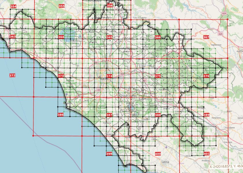
The Geographic Information System (GIS) allows free access to the cartographic heritage of the Metropolitan City of Rome from any device and the possibility to download data in "Shape" format.
The portal is divided into thematic areas and it makes it possible to overlay demographic, urban, environmental, etc. information to the base cartography. It is possible to interact with the system in an exhaustive and active way by using queries, consulting thematic maps, overlaying them and associating the georeferenced information. A section with historical cartography and additional documents is useful for urban planning and for evaluating the compatibility of local planning tools.
It is possible to overlay annually updated cadastral information to other georeferenced data, research ownership as well as administrative and real constraints, helping this way local authorities to know about the existing legislation and the real state of places.
Georeferenced information is an essential tool for governing and knowing the territory as well as a valuable aid for the planning, management and control of the services provided by the metropolitan city, the municipalities and the other local authorities in the area.
Further information on the project can be found at: https://geoportale.cittametropolitanaroma.it/
